The Route
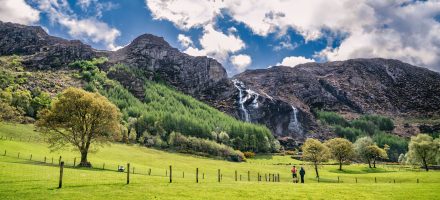
The Beara Way is traditionally walked in a clockwise direction, starting out from Glengarriff and then heading southwest towards Adrigole and Castletownbere on forest trails and mountain paths. From Castletownbere, a ferry is taken out to Bere Island, which has a lovely coastal trail around the tiny island.
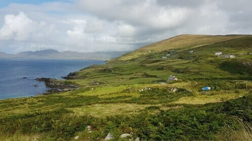
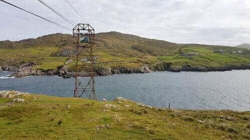
The trail continues on from Castletownbere to the colourful village of Allihies, where it then splits – the trail heading west leads to Dursey Sound. From there, a cable car goes out to Dursey Island where there is a scenic mountainous walk. From Allihies, the trail heading northeast takes you to Eyeries and then Ardgroom, which are two more colourful and picturesque villages.
From Ardgroom, the trail heads through Lauragh and on to Kenmare, along a mixture of mountain paths and deserted minor roads. Kenmare is a popular, bustling tourist town, which links the Beara Way to the south, with the Kerry Way to the north. From Kenmare, the trail turns south on two route options to loop back to Glengarriff, via Bunane.
Terrain Overview
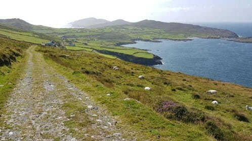
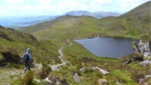
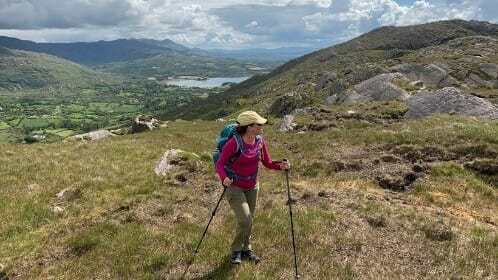
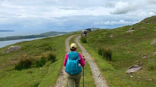
The walking route follows forest trails, miners’ tracks, mountain paths, bog roads, cliff and woodland paths, open moorland and quiet tarmac roads. Parts of the trail can be muddy after periods of rain and some of the mountain sections can be quite rugged and remote.
The total aggregate ascent is approximately 5,000m over the entire route and includes a number of steep but short climbs. The only long climb is the mountain section between Glengariff and Adrigole where the trail also reaches its highest elevation of 560m.
Elevation Profile (excluding Bere and Dursey Island)



 symbol: this itinerary covers the entire Beara Way trail.


